InfraEye leverages advanced AI and automation to assess road conditions, detect pavement anomalies, and enhance infrastructure health. With real-time data collection and GIS integration, it ensures precise maintenance planning and road safety improvements.
High-resolution video and GPS data collection for accurate analysis.
Identifies potholes, cracks, and missing road markers in real time.
Maps surveyed roads for structured analysis and long-term planning.
Securely stores data with easy access for decision-makers.
Compare road conditions over time for efficient maintenance.
Ensures adherence to IRC guidelines for infrastructure assessment.
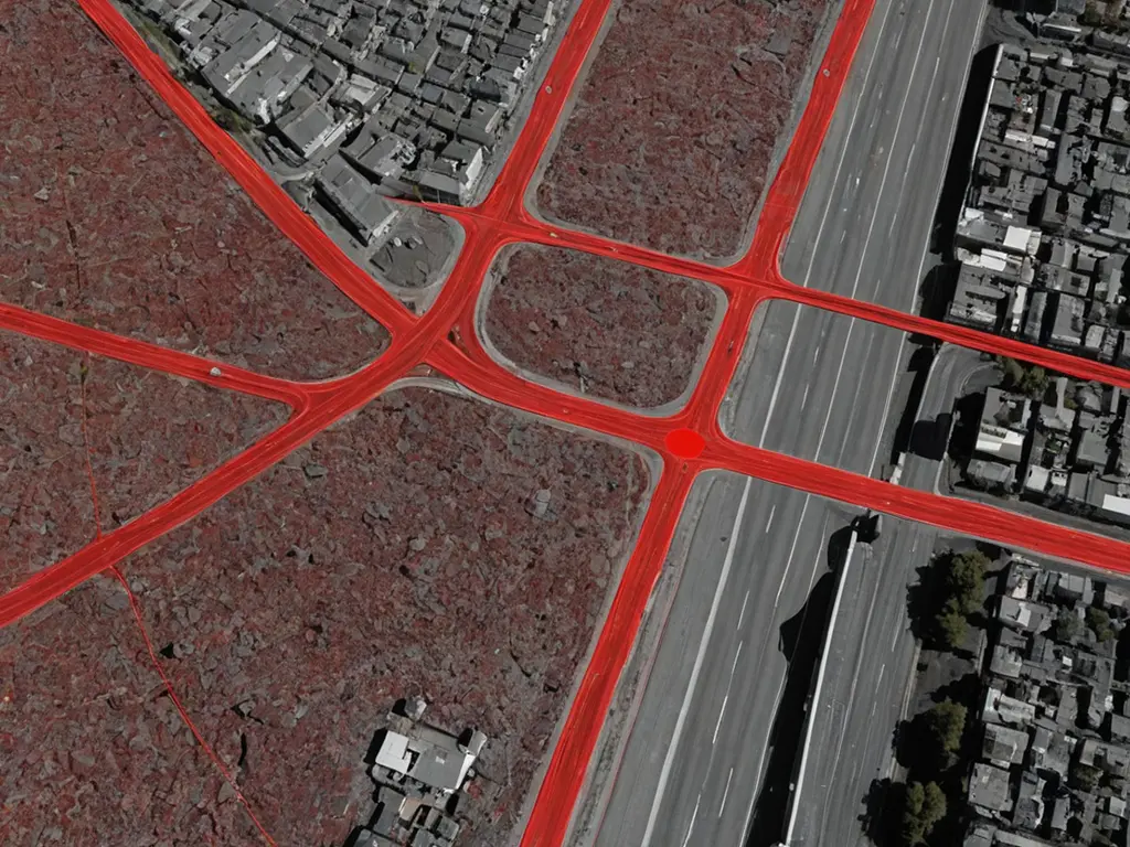
Comprehensive road surveys using AI-driven analysis to identify and classify pavement distress.
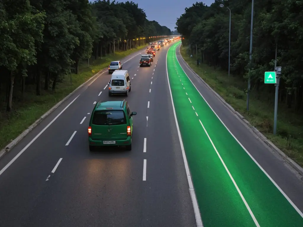
Automated detection of potholes, cracks, and other surface anomalies with high accuracy.
Monitoring of lane markings, road signs, and streetlights to ensure road safety compliance.
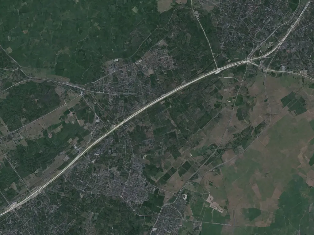
Integration with GIS systems to visualize road data and plan maintenance efficiently.
Generation of structured reports and analytics for data-driven decision-making.
Secure cloud storage for seamless access to historical and real-time survey data.
Partner with us, a leading custom software development agency, to turn your business goals into reality.